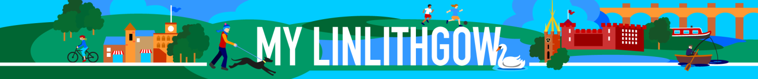
A Great Way to See the Royal Burgh!
We have devised a number of easy-to-follow walks to take you round the main sites of interest in Linlithgow. There’s a walking trail for everyone. So scroll down the page and find a trail that suits you. You can then follow it on our Google Map guide.
Linlithgow Heritage Trail
For those interested in the history and architecture of the Royal Burgh we have a Heritage Trail. This will take you round the main features and buildings in the centre of town. Start wherever you like, however we suggest that a good place to set off from is the Cross. It’s not too far from the station and there’s a car park nearby.
To enhance your experience you can pick up a leaflet. Ask for the “Linlithgow Heritage Trail and Visitor Guide” at the Burgh Halls’.
Battle of Linlithgow Bridge Trail
This trail takes you round the main locations of interest from the Battle of Linlithgow Bridge (1526). The walk is around 4km on relatively flat ground. However, some of the paths can be a bit muddy depending on the weather and time of the year. The battle of Linlithgow Bridge was a product of the power vacuum created by the death of James IV at Flodden in 1513. His young son, King James V, was kept a virtual prisoner by his self-appointed guardian, Archibald Douglas. Meanwhile the King’s mother, the Dowager Queen Margaret, made a number of attempts to release him. The most dramatic of these resulted in the battle of Linlithgow Bridge on September 4th 1526.
Linlithgow Ale Trail
Scotland is famous for its “pubs” (abbreviation for “Public Houses”) and Linlithgow has many fine hostelries.
Why not take the “Linlithgow Ale Trail” and explore the old “pubs” of Linlithgow? An extremely refreshing way to see the Royal Burgh
Perambulation of Linlithgow Marches
Linlithgow is one of Scotland’s most ancient Royal Burghs. King David I granted the first charter in the 1130s. A tradition dating back to the 16th century is the annual Riding of the Marches. This happens on the first Tuesday after the second Thursday in June. It inspects the extremities of the burgh’s one-time interests at Linlithgow Bridge and at the port of Blackness This walk is 4 miles (6.5 km) long. It passes by seven out of eight march stones (one original and seven replicas, installed in 2014) marking the old boundary. This walking trail – Perambulation of Linlithgow Marches gives details of both the route and the many features of historical or architectural interest that it passes
Linlithgow Floral Trails
The Linlithgow Floral Trails consist of three routes with numbered or lettered points of interest. One is a numbered walking route round the town centre. The other two are lettered routes suitable for driving or walking which pass, or lead to, the main floral features elsewhere in the town. The circular ‘Central Area Floral Trail’ (pages 3 to 8) starts at the Union Canal Basin and extends to around 2 miles/3 km. If you want to go further try the ‘Outer Linlithgow Floral Trails’. The first provides a circular route round Springfield at the east end of the town (about 2 miles/3 km). The other is a linear route exploring the areas to the south and west (almost 3 miles/5 km).
This page is provided and supported by Pride & Passion Linlithgow, working with the Linlithgow Town Centre BID
to provide information about the Royal Burgh and surrounding area.